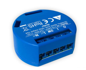
Fig. Shelly 1
Anyone who anchors is obliged to set an anchor light so that you can be recognized on the open water surface in the dark. Typically, the light is switched on manually at dusk and off again at sunrise. There is no problem switching it on. But often you forget to switch it off and the anchor light is then permanently on and consumes electricity unnecessarily.… Continue reading
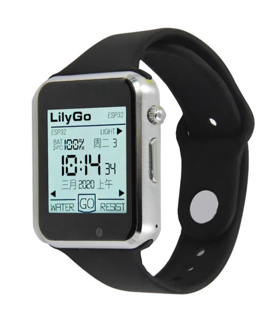
Fig. Lilygo T-Watch 2020 (Lilygo)
Jan Dytrych has started a software project to be able to display data from SignalK and receive alarms with a smart watch. Not just any common clock under Android is used as a smart watch. He uses the smart watch Liligo T Watch 2020. The special feature of this clock is that it has an ESP32 installed as a processor and can be controlled via the Arduino IDE or… Continue reading
why
I've always found the idea of not only showing the course on my plotter when the boat is moving, but also when it's bobbing along quietly, I've always found it exciting.
After searching the I-Net for different manufacturers, it quickly became clear that I might not need an e-compass on board at current prices.… Continue reading
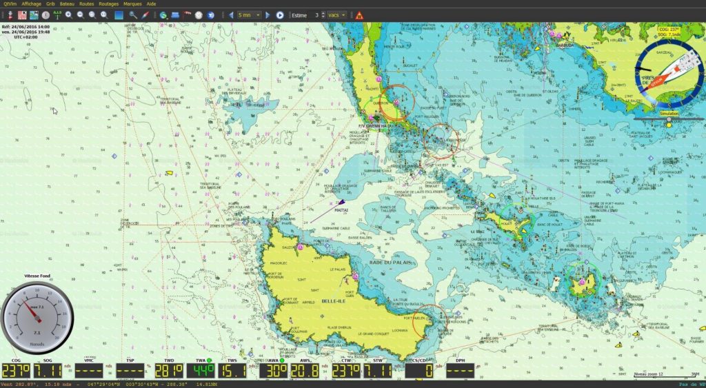
Where the name qtVlm for the navigation and weather routing software comes from is not known. In any case, qtVlm is worth a look for those who are looking for a freeware navigation software with basic functions. Depending on further wishes, the software can be expanded with add-ons that are subject to a fee. If you need it, you can also book telephone or email support for a fee.… Continue reading
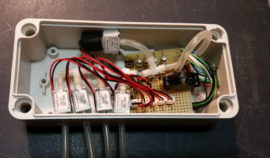
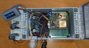
Fig. Control box with pump, pressure sensor and valves
In the Facebook group Raspberry Pi for Boats I saw a cool solution for a level measurement. Erik from Finland constructed a monitor for 4 tanks with an air pressure sensor. The functional principle is based on the displacement of liquids in a measuring tube. A corresponding air pressure then builds up in the measuring tube, which is proportional to the filling level.… Continue reading
First of all, a few important notes that you should definitely pay attention to.
Disclaimer: The descriptions of the wiring and the pin assignments correspond to what I found in my boat. Therefore, if you want to rebuild the interface, you have to make sure that the wiring and pin assignments are identical on your own boat or adapt the interface accordingly. The entire description of this solution is in an experimental state and comes without any warranty.... Continue reading
First of all, a few important notes that you should definitely pay attention to.
Route planner for European inland waterways
| From the North Sea to the Black Sea, through Finland via the Saimaa Lakes, back from the Mediterranean to the Baltic Sea?
The open-source / open-data project brouter.grade.de has started the test phase!
The whole story https://bastelbude.grade.de |
|
...
Continue reading
3D view* (Click on the picture, wait for the download and move the object with the mouse)
The wind sensor Yachta is used to measure wind speed and wind direction on boats. It is installed on the mast and supplied with 12V. The data transmission of the NMEA0183 telegrams takes place wirelessly via WiFi. The wind sensor contains an access point and a small web server. A mobile phone with a web browser is used to display the measured values.… Continue reading
First of all, a few important notes that you should definitely pay attention to.
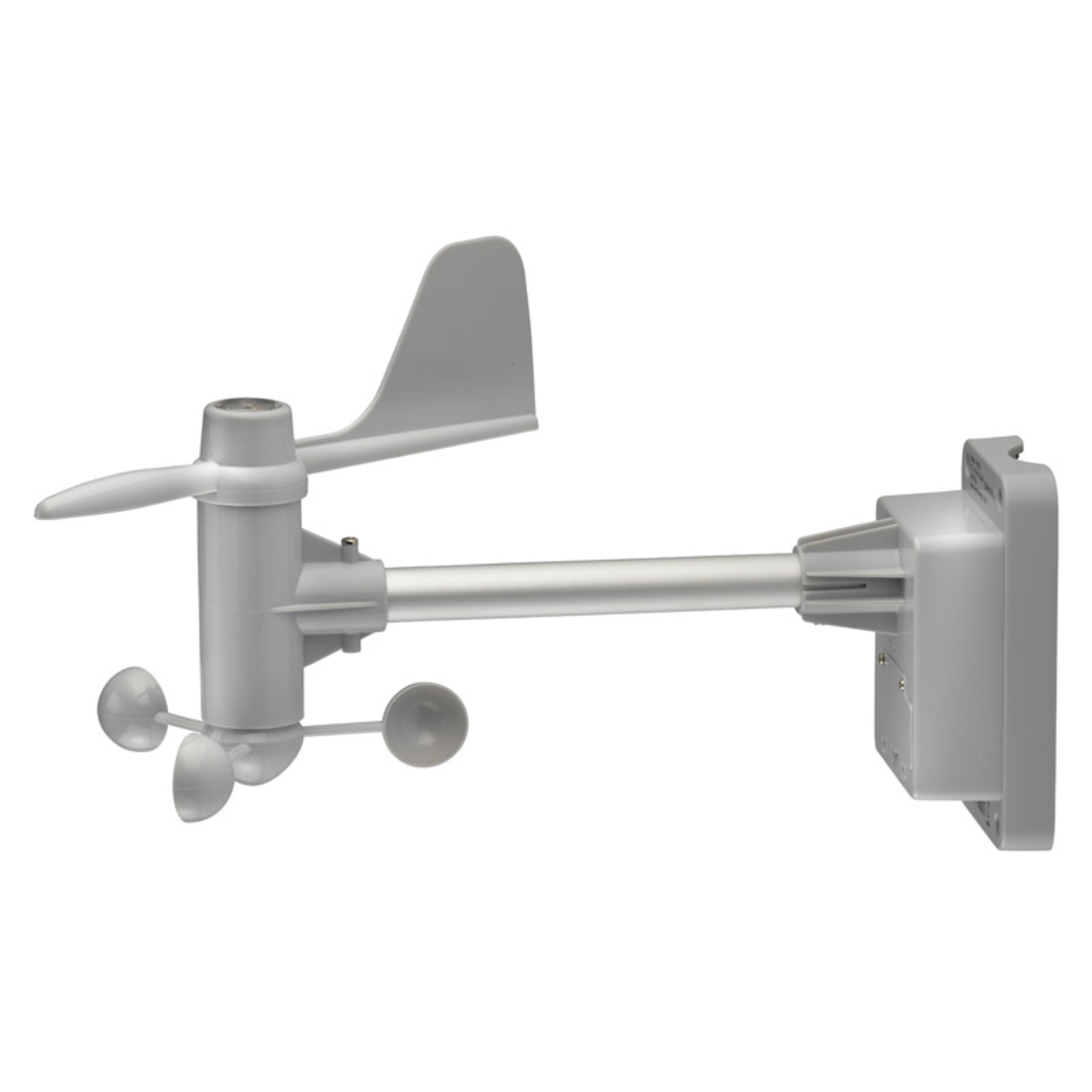
Fig .: Exterior view
- NMEA0183 and NMEA2000
- Only three other parts (ESP32, roll pin, CAN BUS) are required
- Angular resolution in 0.1 ° steps
- Data can be displayed in the browser (in AP mode even without an external network)
- Code fully commented on GitHub
This project describes the conversion of the replacement anemometer Ventus W132 with minimal material expenditure.… Continue reading
Philippe from France presented us with an interesting project on how, as a blue-water sailor, you can use a cheap satellite communication device to access weather data at any point on earth via SMS. We want to introduce it here. Anyone traveling far from the mainland with their boat needs reliable weather data every day for route planning. The weather data can be obtained in different ways:
- Internet connection via satellite
- Short wave Pactor connection to the mainland
- Short wave weather fax
- Long wave short form weather data
In the age of universally available Internet, however, there is a high cost for a satellite system with the corresponding data throughput.… Continue reading