Where the name qtVlm for the navigation and weather routing software comes from is not known. In any case, qtVlm is worth a look for those who are looking for a freeware navigation software with basic functions. Depending on further wishes, the software can be expanded with add-ons that are subject to a fee. If you need it, you can also book telephone or email support for a fee. The software is available for the following operating systems:
- Linux PC
- Linux Raspi
- Mac
- Windows PC
- Android app
- Android wearables (smart watches)
Suitable maps are:
- Vector Maps (S57, S63)
- Raster maps (kaps, geotiff, mbtiles)
- Grib weather maps as an overlay
- Current data as an overlay
Functions:
- route routing
- weather routing
- Collision warning via AIS
- regatta features
- Display of sensor data
- Performance optimization with polar plot data
- NMEA multiplexer with input and output
qtVlm can process the following on signal sources:
- NMEA0183 In/Out over TCP/UDP
- NMEA0183 In/Out via USB, RS232
- AIS as NMEA0183
- GPSd over TCP
In addition to an integrated NMEA multiplexer, filter functions can also be defined for the respective signal sources. However, as with OpenCPN, operation is designed for desktop applications and requires a mouse and keyboard. In the Android app, many setting functions are optimized for touch operation.
This is what the makers of qtVlm say about their software:
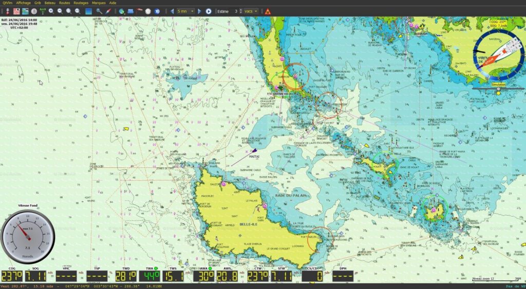
| Many options are available, such as multi-routing to find the best date and departure time based on various parameters, single-route routing, or considering segments with motor. Winds, currents, and waves, as well as some other weather variables, are used during the calculation. Boat performance can be fine-tuned, for example, polar efficiency at night or the time required to tack or jibe. Multiple GRIB files can be loaded simultaneously to route with different parameters (e.g., wind, current, and swell) or to compare GRIB models. Weather fax images can also be loaded onto grids. A start line mode manages a race starting line with a chronometer, distance and time calculations, and displays a safe zone. qtVlm can also be used in simulation mode. In this mode, qtVlm uses wind and current data from GRIB to simulate navigation. All instruments are usable, and real live AIS targets are received from the internet. Be careful not to collide with a real fishing boat or another qtVlm boat!” |
Conclusion
Freeware is not the same as open source. Anyone looking for open source software for navigation applications is wrong with qtVlm. Nevertheless, it is worth taking a closer look at the program, as it offers a very extensive range of functions and some extras for regatta sailors and long-distance sailors. The good one deserves special mention English language documentation which describes in detail all functions of the program. The program is based on Qt and is therefore available for all common operating systems. However, the desktop versions require a mouse and keyboard and are intended more for applications at the card table. With the Android app, the program is also available for tablets and can therefore also be used directly at the helm. Using the NMEA Out function of the multiplexer, for example, server data can be forwarded from the Raspi to the Android app on the tablet. This means that the same data is available both at the chart table and at the helm station.
Link to website: https://www.meltemus.com/index.php/en/