First, a few important notes that you should definitely observe.

OpenSource chartplotter www.wellenvogel.net
- completely web based navigation software for boats
- raster chart display (tile based) like Google Maps
- runs as server on a raspi
- also available as standalone android app
- features
- use small devices like tablets or cell phones for navigation
- optimized for devices starting at 7"
- perfectly usable on 10" devices see here
- attach your sensors via USB, serial, bluetooth, TCP - also possible on android (GPS, wind, speed, depth,AIS)
- using NMEA0183
- integrated NMEA multiplexer and WLAN gateway
- usable for NMEA2000 with canboat
- track logging
- route planning
- using raster charts (BSB,NV, downloaded charts from mobile atlas creator)
- simple installation
- small, low power consumption
- display adaptable(sizes via settings, free configuration what to display where)
- can be extended and adapted (server plugins, css adaption, java script for own displays)
Left
- description
- download (latest stable version)
- android app (play store)
- source on GitHub
- discussion on Segeln Forum (german)
- hints for chart download and creation
Different Set Ups
- "classic" set up - raspberry installed on your boat, one ore more tablets for display and interaction. On the tablets there is only a browser required - so you can use android, windows, IOS. You could additionally use other devices like laptops or smart phones for display.
The raspberry will set up a WLAN where the devices can attach.
You can attach multiple devices - you can have different displays on each of them - like the chart on one device and a dashboard on another one.
The charts have to be available in a raster format (gemf) - a converter is available.
I mainly used:- one tablet down below at the chart table
- one tablet below the dodger
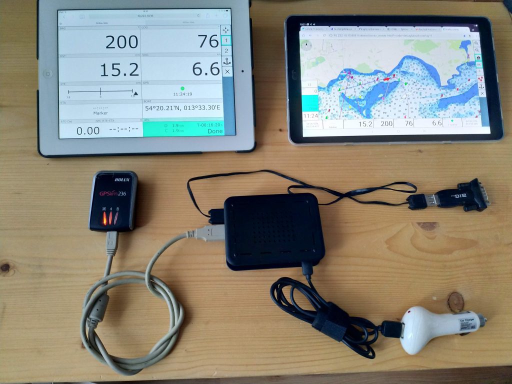
minimal "classic" set up- raspi, gps mouse, USB-RS232 gateway, power supply and 2 tablets
- AvNav as NMEA multiplexer and WLAN gateway
In this sert up AvNav receives data from NMEA-0183 (and a seriel-USB adapter),bluetooth, NMEA2000 or from IP and provides them at different outputs. You can mix this set up with the "classic" one - the NMEA multiplexer is always available.
Available data outputs:- NMEA-0183 (via USB-serial adapter)
- IP (TCP and UDP) - local or via WLAN
- Android "stand alone"
AvNav is available as a normal app on the android device. You can receive data from the internal GPS but you can also receive them via bluetooth, IP or USB device. The display functions are identical to the normal app.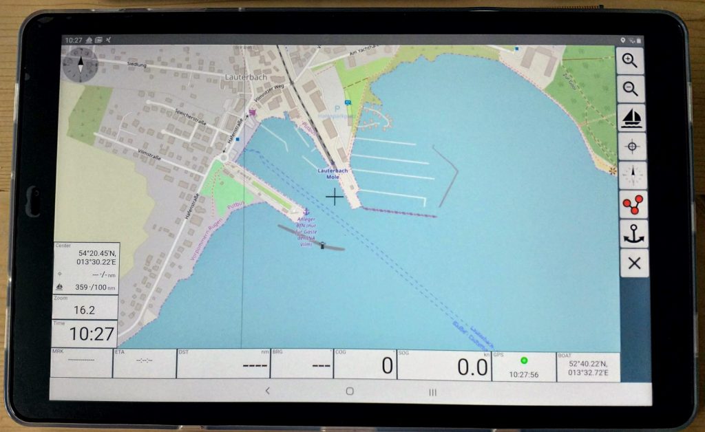
AvNav app on android - Android „master slave“
The app will only be installed on one device (maybe an android car radio - see DIY plotter Android radio)and can be used on this devices as well as on other devices in the same lokal network (WLAN). On the other devices you only need a broweser - so you are free again to choose your system on them.
In the picture - an old Ipad3 as second display.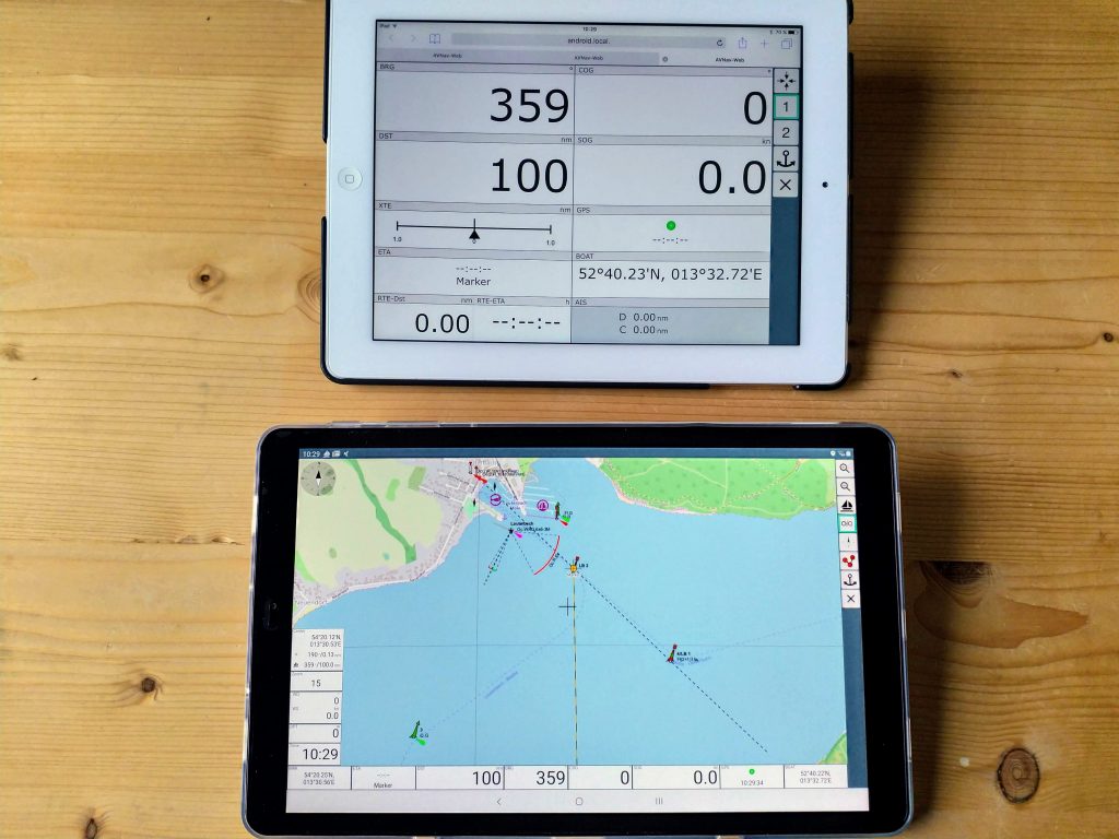
Android master slave: the lower tablet is working as the master, the upper one as a second display. - Windows (or Linux) Desktop
There is a ready-made installer for Windows and packages for Linux. This allows AvNav to be installed on a desktop computer (or laptop). Although the focus here is the conversion of maps (which are in BSB format, for example), the entire functionality can also be used here. Of course, it is also possible to use other devices as displays via browser.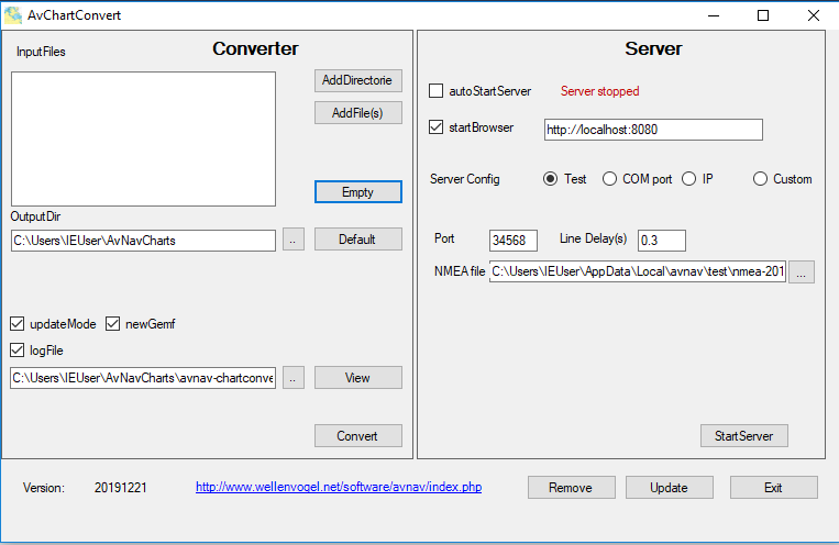
AvNav on windows